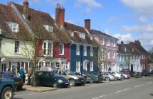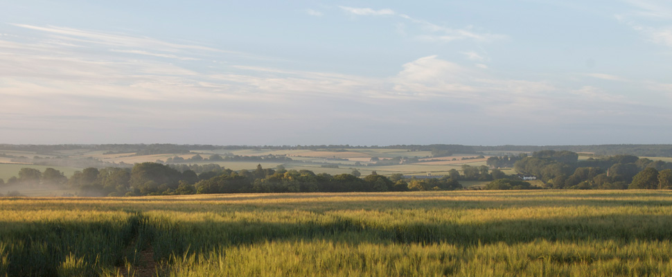
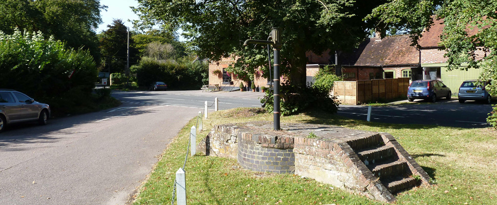
The Candover Valley is a unique rural community in mid-Hampshire, centred around a group of five villages and four hamlets situated between Basingstoke and Winchester.
The aim of this site is to provide information to both locals and visitors about the events, amenities, and local services which are available in the Valley. It is in the early stages of development, and dependent on its users to provide information to go on it, and feedback and suggestions for improvement.

This website is currently undergoing a major review and redesign and will not be publishing news of activities and developments within the Candover Valley and its neighbourhood while this process is underway. We apologise to regular users or any others seeking information about activities in the Candover Valley and its parishes.
However links to specific groups and organisations should still be ‘live’ and information should still be available from them directly.
You can also contact us directly through the contact page.

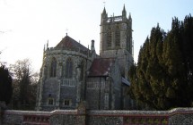
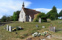
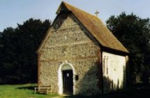
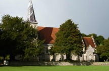
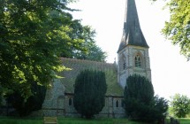
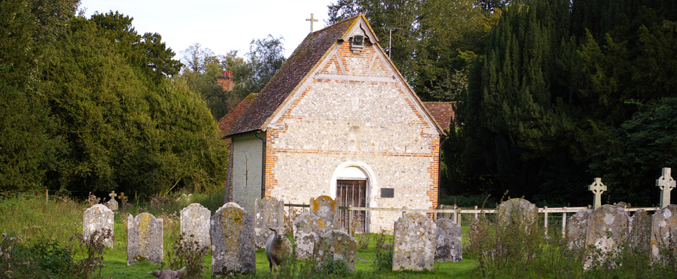
The Oxdrove is the parish magazine for the Candover Valley and the neighbouring village of Wield. It is published monthly and, in addition to information about events at the four churches in the combined benefice, it also provides news and information about a wealth of activities in the Valley and nearby villages, and carries advertising for local services.
Subscriptions are £10 a year for all 12 issues. People who are not subscribers and interested in doing so should contact Ros Partridge at rospartridge1@gmail.com

If you are planning any important road journeys in the next few months, it may be useful to check out if there are any road closures on your route. At this time of year the weather can play havoc with road surfaces, especially in the country areas. Have you been caught out when you come across an unexpected road closure or a diversion? Maybe, if you had known earlier you could have avoided it – taken a different route.
In theory, you can know in advance. Highways England operate an interactive map showing planned roadworks across counties, and even the country. Log on to the map and you can scroll down to local areas, or scroll up for a wider view; or by panning across, and up and down, you can cover a much wider area, maybe even to cover your whole route. The link below takes you to Hampshire County Council’s list of roadworks, scroll up to find the map.
See here for the map -
https://www.hants.gov.uk/transport/roadmaintenance/plannedmaintenance#list-works

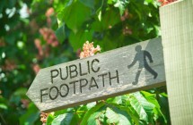
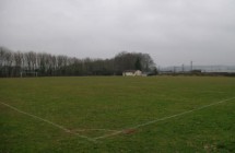
Within weeks of the different levels of lockdown during the years of the coronavirus pandemic many people and families were looking for ways of getting out of the house and seeking some form of recreation, and are continuing to do so. Families living in the Candover Valley are fortunate in having a wide network of footpaths and bridleways where it is possible to take short, or longer walks, through beautiful countryside, even in winter and in relative safety, largely away from the rural roads which are narrow, without pavements, and also, mostly with a 60mph speed limit!
Read more here.
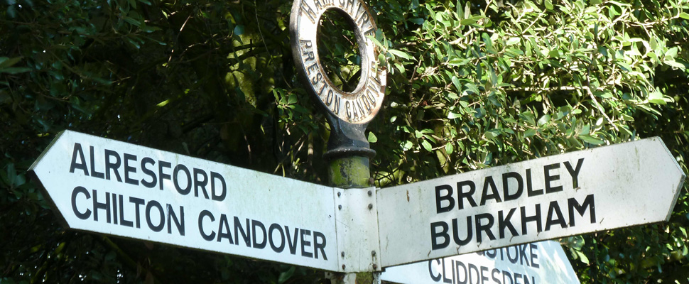
There are three parish councils serving the residents of the Candover Valley. At the northern end of the valley it is Preston Candover and Nutley Parish Council which covers Axford as well as Nutley and Preston Candover. At the southern end of the valley Northington Parish Council serves the residents of Northington, Swarraton and Totford, and in the middle it is the Candovers Council looking after people in Brown and Chilton Candover.
Information about the respective councils and their activities can be found on their own websites:
More information about the role and duties of parish councils in general can be found here.
Activities, events and places in the Candover Valley and surrounding area.
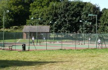
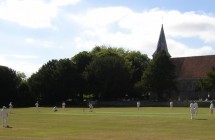
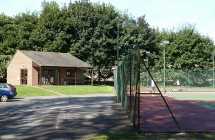
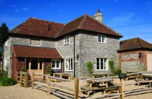
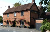
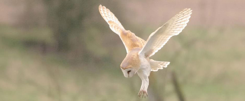
There are many organisations active in the Candover Valley and the surrounding area, and a wide range of places to visit, and activities to enjoy, in addition to many public footpaths giving you access to the countryside and its teeming wildlife. See more information here.

The Hampshire and Isle of Wight Wildlife Trust, has now received further funding from the national lottery to continue its study programme into the wild life of Hampshire’s chalk streams. Among others, the programme involves the study of habitats and wildlife in the Candover stream. Read more about it here, and the latest update report here from Maggie Shelton, the community catchments officer.

Oak Hill Lane, the BOAT (byway open to all traffic) which runs from the Preston end of Bradley Lane (Red Lane) alongside fields to Southwood Farm Lane, is just one of several public footpaths and tracks running through the Candover Valley. It was resurfaced by Hampshire County Council in early 2015. More information about footpaths around Preston Candover can be found here.
Many years ago a former clerk to the Preston Candover and Nutley Parish Council compiled a series of seven circular walks using footpaths in the parish and with links on local roads. Details of the walks can be found here.

Potholes can be a serious road hazard and the state of some roads around the Valley is bad. We need everyone to report the problems. The process is easy, and you can also keep a check on progress on the problems which have already been reported .Please report on potholes here

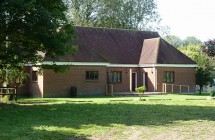
Organising an event in the area? Starting a new club or society? If you are, we’d like to hear from you. Please contact our editors about a free listing for your event or group on this site.